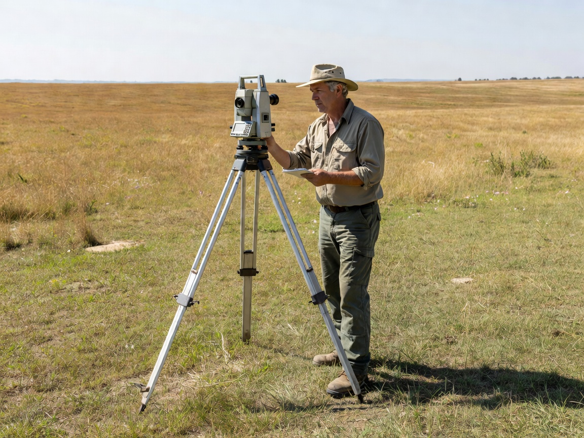
01 · EXISTING CONDITIONS
Land & Site Surveying
Understand terrain, visible features, access and site context before design or construction begins.
Read the guide →THE SITE MEASUREMENT STUDIO · EUROPE
Good construction decisions begin with dependable information. We explain how land surveying, dimensional checks, mapping and documentation can turn a physical site into a clearer basis for planning and coordination.
FEATURED WORKFLOWS
Each service answers a different question about the ground, the structure or the record of what exists.
Understand terrain, visible features, access and site context before design or construction begins.
Read the guide →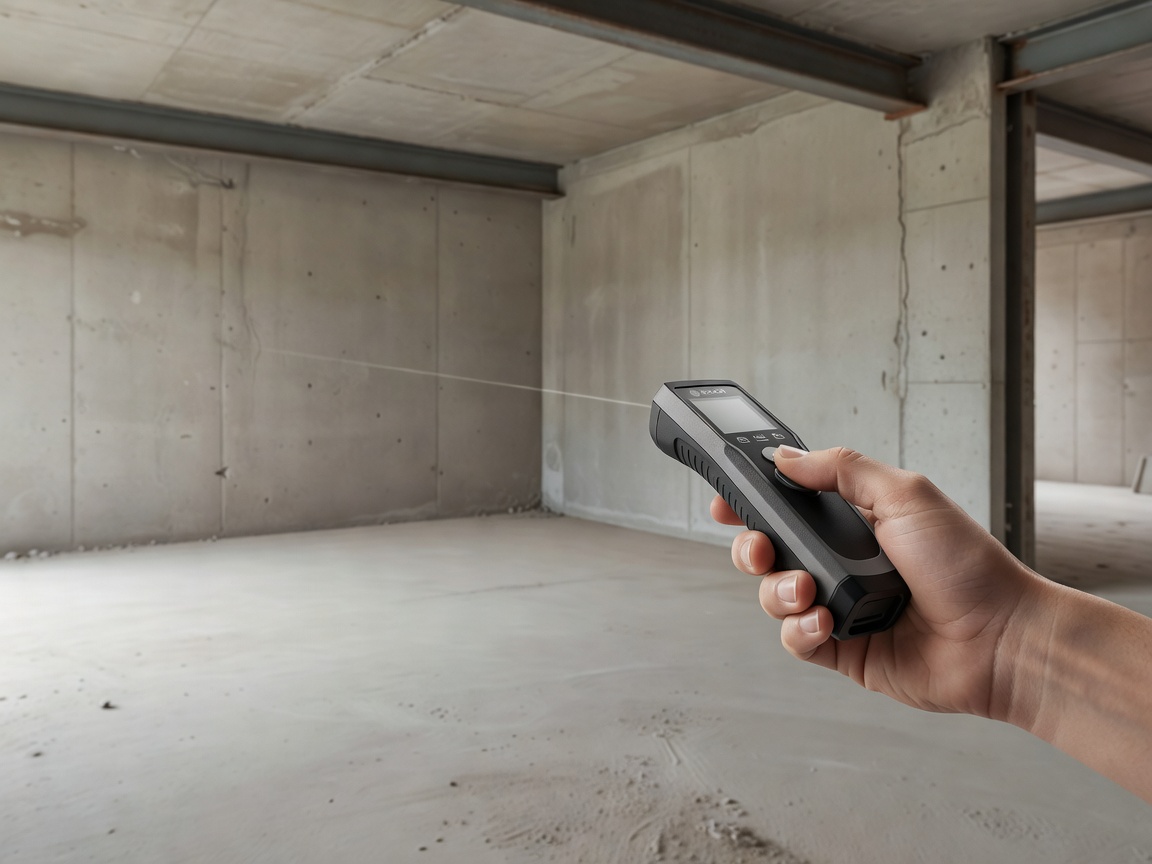
Compare drawings and physical conditions through structured checks of levels, openings and geometry.
Read the guide →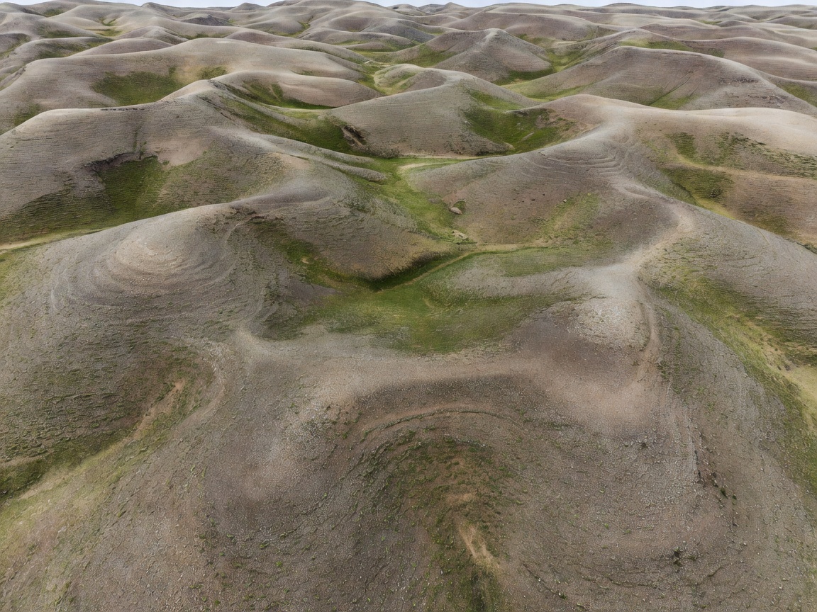
Represent slopes, levels, routes, structures and other visible features in a usable site picture.
Read the guide →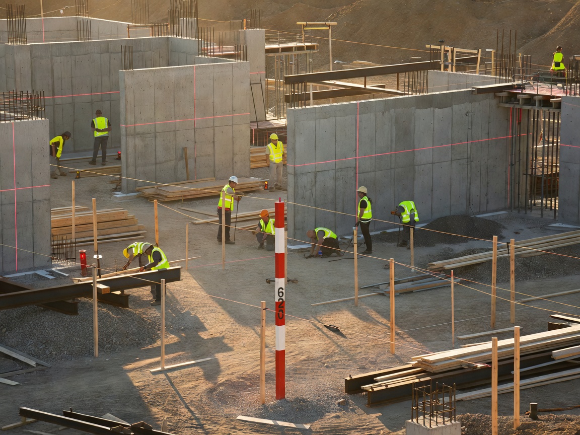
Learn how design information is related to physical reference points and checked during construction.
Read the guide →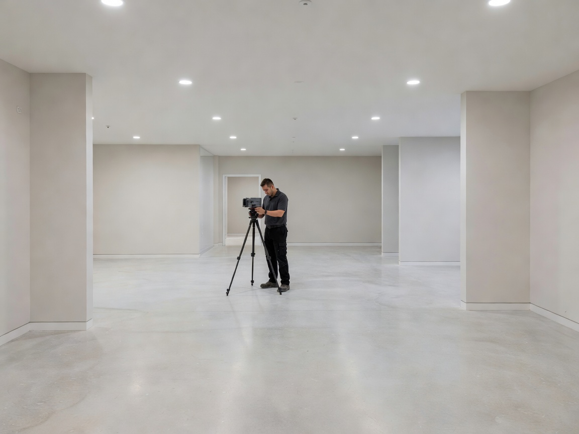
Create a clearer record of completed conditions for handover, coordination and future work.
Read the guide →A PRACTICAL STARTING POINT
Is the project trying to understand the land, verify a building, transfer design information, or record what has been built? Defining that question helps shape a sensible survey brief.
Essential preferences are always available. No optional analytics are enabled in this demonstration.