03 · TERRAIN INFORMATION
Topographic Site
Mapping
Topographic mapping describes the shape of land and the visible features that sit within it. It helps a design team read slopes, levels, routes and site relationships before development decisions are made.
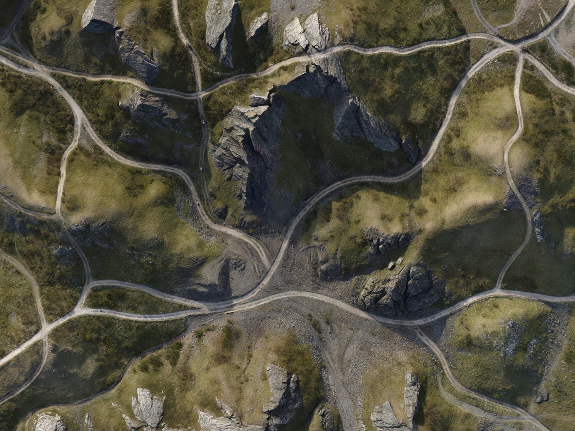
A topographic survey gathers information about elevation and visible site features, then represents that information in a form people can interpret. Contour lines are one familiar method: each line connects locations that share a level, allowing the pattern of the ground to be understood without seeing it in person.
What may be mapped
Depending on the brief, the record may include changes in level, slopes, roads, paths, drainage-related features, retaining edges, existing structures, walls, vegetation and access routes. The scope should distinguish between visible features and matters that require separate investigation, such as concealed drainage or buried services.
Mapping is particularly useful where the terrain influences a building position, access route, surface-water strategy, landscape proposal or site-development study. It can also provide context for coordinating other surveys.
When a project may need it
- Before selecting a development or building area.
- When level changes affect access, earthworks thinking or the relationship to neighbouring land.
- When roads, paths, drainage features or vegetation influence design.
- When a design team needs a shared terrain reference rather than isolated observations.
From field information to a site picture
The workflow normally begins with a defined area and a discussion of intended use. Field observations are then collected across accessible parts of the site. The information is organised into an agreed drawing or digital format, with notes about scope, date, assumptions and limitations.
Contours are interpretive aids, not a substitute for every individual level or a guarantee that ground between measured points behaves uniformly. Their usefulness depends on the information collected, the scale of the drawing and the decisions the project needs to make.
Good for
Early design, landscape coordination, access studies, site development preparation and understanding sloping land.
Ask about
Site extent, feature categories, required format, vegetation, access, seasonal conditions and how the mapping will be used.
Keep separate
Topographic information does not itself establish legal boundaries, drainage capacity, planning approval or engineering design.
Choosing a proportionate brief
A small, open site may need a different record from a complex urban plot with structures, walls and restricted access. Cost is influenced by site size, terrain complexity, requested detail, deliverables, accessibility, location and scheduling. Asking for the decision the map must support is usually more useful than asking for the largest possible drawing.
Related reading
Read Land & Site Surveying for broader existing-condition information, or Construction Measurements for building geometry.
Discuss a mapping brief