01 · EXISTING CONDITIONS
Land & Site
Surveying
A site survey is a structured description of what is present on or around a piece of land. It gives designers, contractors and owners a common starting point before proposals are turned into work.
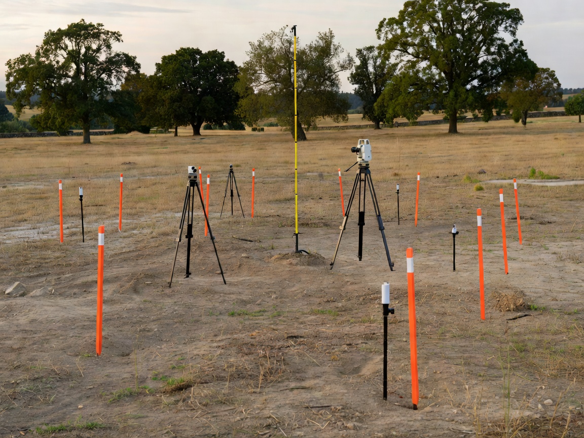
Existing conditions are often more complex than a plan suggests. A site may include changes in level, walls, access constraints, trees, visible services, neighbouring structures and traces of previous work. Land and site surveying brings those observations together through field measurements and a clear set of drawings or information suitable for the project stage.
What the survey considers
The brief may include ground features, buildings, hardstanding, paths, fences, walls, visible drainage features and access areas. Utilities can also be treated as a survey-information category, but visible evidence is not the same as confirmation of every buried service. Boundary information is similarly a general project input here, not a legal determination of ownership or title.
Terrain matters because a level change can affect access, excavation thinking, drainage design and the relationship between a proposed building and its surroundings. Recording the context early helps a design team distinguish what is known from what still needs investigation.
A typical workflow
- Define the question. Confirm the site extent, project stage, required features and intended deliverables.
- Review available information. Existing drawings, photographs and client notes can help focus the field visit.
- Observe and measure. Field information is gathered systematically, with attention to visible features, levels and site access.
- Coordinate the record. Measurements and observations are organised into drawings, schedules or other agreed formats.
- Discuss limitations. Areas that were inaccessible, concealed or outside the brief should be clearly identified.
Good for
Early feasibility, site preparation, refurbishment planning, design coordination and understanding an unfamiliar property.
Useful questions
What must be shown? Which areas are accessible? Is terrain important? Are existing drawings reliable? Who will use the information?
Pros and considerations
A measured baseline can reduce assumptions, but scope, access, vegetation, weather, site size and required outputs influence time and cost.
What to know before commissioning
Ask for a plain explanation of the survey extent, the features to be recorded, the format of the deliverables and the assumptions behind them. A survey can support planning and coordination, but it does not replace legal boundary advice, a planning decision, engineering design or investigation of concealed conditions.
The most useful brief connects the survey to a decision: placing a building, preparing a design, checking access, coordinating services or understanding a development constraint. That keeps the work proportionate and makes the resulting information easier to use.
Related reading
For terrain-led projects, see Topographic Site Mapping. For existing buildings, read Construction Measurements.
Frame a survey enquiry